On Saturday, June 6, we had our final long team training hike of this season before our Yosemite event. Next Saturday will be a shorter YOYO (You're On You Own) hike, tapering off to build plenty of energy for Yosemite. This was my last chance to gauge how well my knee is now doing on longer hikes with lots of up and down. This hike was our second team practice in the El Corte de Madera Open Space Preserve. This is on the west side of Skyline Blvd near Woodside and Kings Mountain, just north of Purisima where we hiked the prior weekend.
This second hike was much longer than our earlier hike in the preserve, travelling around the entire perimeter of the preserve and reaching its lowest points. Our goal was to hike eight hours if planning for the Dewey Point or Panorama Trail Yosemite hikes, or ten hours if planning for the Half Dome or Yosemite Falls hikes. Somehow Coach Nathalie thought we were still eager to accompany the fastest hikers on the ten hour version, under some pretense that we were still candidates for getting accepted onto the Half Dome Trail. Yeah, right.
We also wanted very much to see some of our son's final T-Ball game of the season -- we had missed so much of them! Fortunately, our friends and his coach haved helped us out immensely in escorting him to nearly all of his Saturday games.
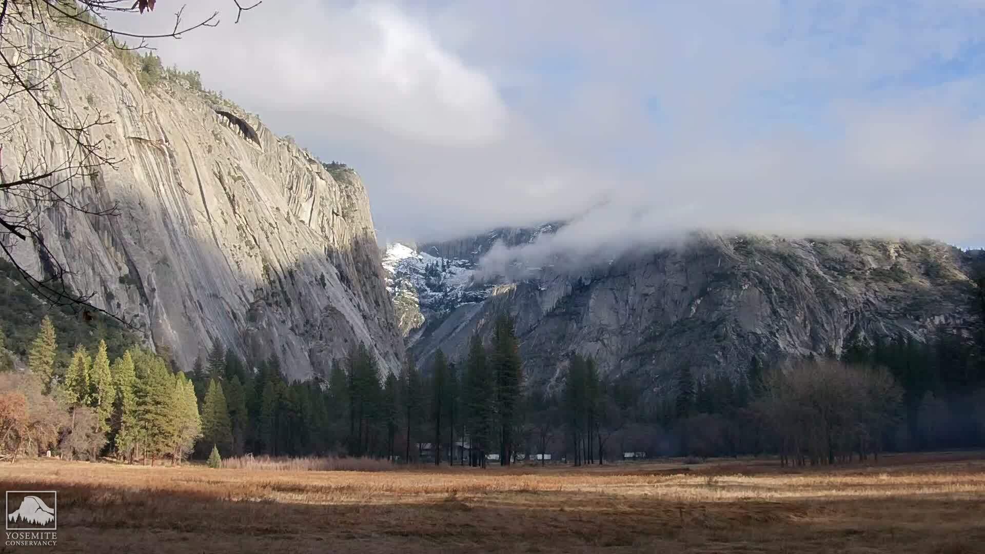
This hike had a familiar pattern. Lots of down and down and down, through unbroken trees with no views. Then a little bit of level, and no views. Then a lot of up and up and up, with no views. The weather was very accomodating. No drizzle this time, and the local marine layer overhead kept us cool enough that we needed little water. But I much prefer those other parks that lead to awesome vistas.
The long downhill was no problem for my knee. I started having some warning pains a third of the way back uphill. I was glad when our coach decided to make up some time by taking a shorter route than first planned. Then we did an interesting very steep section named 'Steam Donkey Trail', where the old-growth loggers required steam power to move logs around. This was a bit of a huff but no problem when not in a hurry. There were no mountain bikers around this particular afternoon, but they obviously love tearing down this path.
 After reaching the top, we followed the Skyline ridge northwards along the Sierra Morena trail, back towards the cars. My knee had again felt okay on the latter part of the uphill. But now, when beginning an absolutely trivial slight downhill, my knee began having sharp stabbing pains. Weird. No problems during the early hike when the downhill was very steep and long. Some problems a few hours later during uphill. Then major pain on a trivial slight downslope. So the problem comes with total time on the trail, not simply from dropping major elevation. My therapist thought my problem this day may have been because my knee taping was 3 days old and stretched out.
I got permission to end my hike early without any further trail extensions, and did so. Everyone else in our group did the same. 7.25 hours total. It is so so hard to return back to the outward trails, once you know you are near your car.
The Fast & Furious Half Dome hopefuls did their own thing on this hike, and we never saw them again after the morning departure. Mentor Deb led them on a full ten hour hike.
I iced up back at the car, and felt fairly well the rest of the day. These hikes used to leave us very stiff, very exhausted, and hardly able to walk at all. Now, it was no problem. If it weren't for the knee, I could keep this up a very long time now.
This week, my knee would definitely not yet be ready to do Half Dome. So maybe it doesn't matter, that there is no room for us on the elite 36 person team. Yeah, right.
Throughout this day's hike, I was sure that I was going to need to take a dump, out there off the trail in the middle of the forest. No outhouses anywhere. I haven't yet done that and hope to avoid it. So this was on my mind nearly constantly during the hike, adding to my desire to be done with this hike and go home. (It appears that California's budget crisis will be closing every non-city hike venue that has flush toilets.)
On our way home, we stopped in Portola Valley to help a team-mate shrink her fundraiser mailer from 16 megabytes down to 310 kbytes. And a bathroom! But I found that I had nothing to poop. All that worrying, for nothing.
We then saw our son's final at-bats for this season. That was great!