Sunday, January 31, 2010

Confounding Expectations

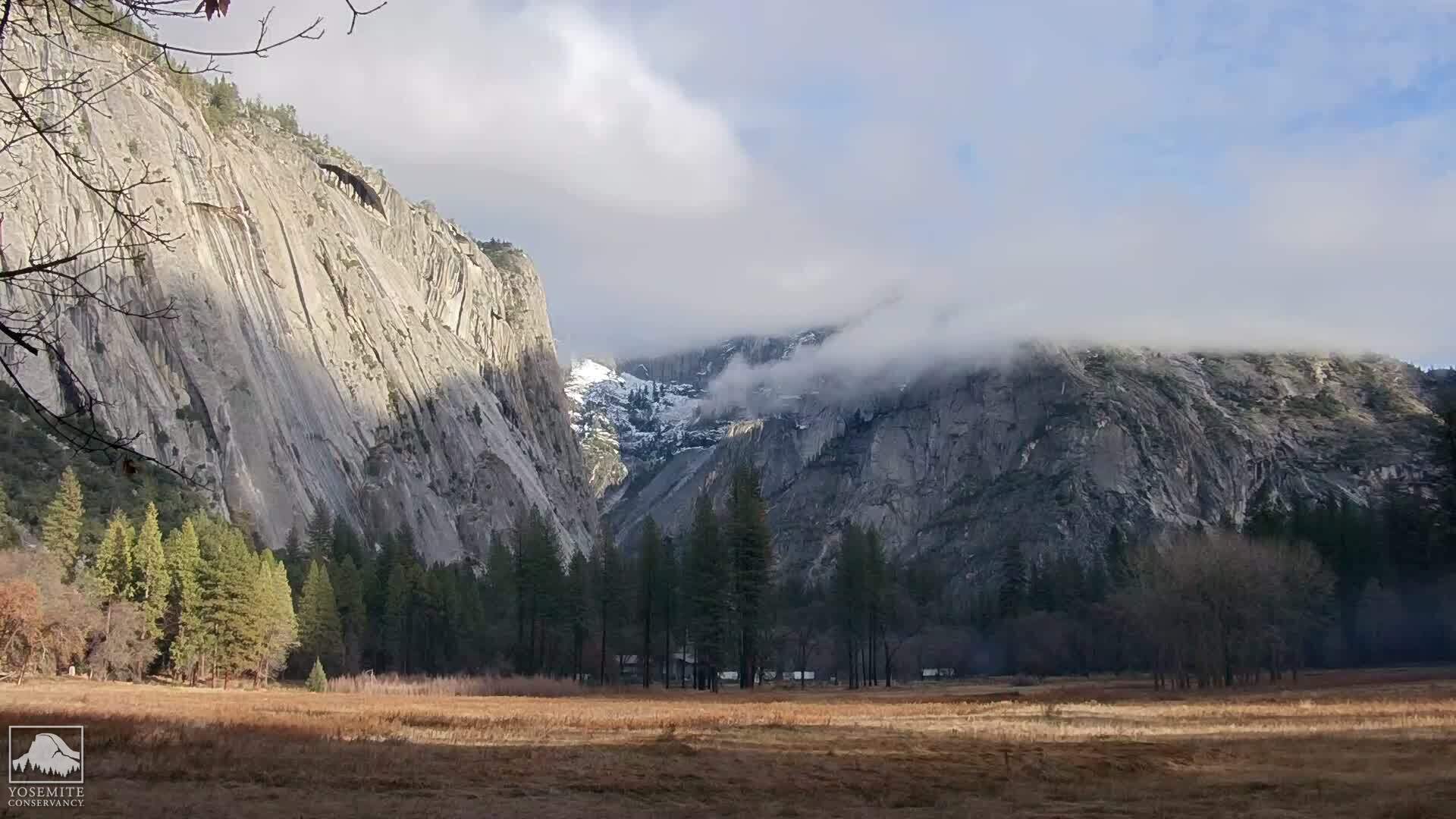
The most difficult part about training is motivating Duane. That, and it's January and raining often and neither of us really like hiking in the rain. But today was a beautiful day, so we decided to do a short hike up Mission Peak with our friend Deb. It was perfect hiking weather for Mission Peak - sunny but not too hot. I'm sure that the expected shortness of today's hike was added incentive for Duane.

We didn't expect to summit today. Deb brought a new friend, Donna, who is focusing on weight loss and who has successfully lost over 100 lbs., with several more to go. Today was her first hike. Deb chose the Stanford Avenue side of Mission Peak because of its series of benches along the way, giving Donna chance to rest if she needed it. We figured we would make the second bench and turn around, totally at Donna's option. This was Donna's day.

Since this was to be a short hike, we took our young son as well. We haven't yet taken him on any really long hikes. His attention span isn't yet sufficiently long that we can get through a hike without hearing "When are we going to be done?" or "Can we go home now?" We also haven't been certain that he has the stamina to do longer hikes, even though he is turning out to be quite the athlete. We expected today to be short enough that stamina wouldn't be a problem. Neither of us packed full food and water in our day packs, and didn't require our son to carry his hydration fanny pack either.

All our expectations were confounded.

We got to the first bench and kept going. We got to the second bench and kept going. Donna was doing great and decided she would keep on hiking. We got to the third bench and Donna decided to keep going. At this point we were trying to remember if there was a fourth bench...

Meanwhile, our son found sufficient distractions that he never noticed that the hike kept on going. Ladybugs were plentiful and he collected them in a plastic baggie along the way. There were also plenty of rocks to climb on or throw, and lots of gophers and cows to look at. The biggest problem surprisingly turned out to be that he didn't want to make a "nature" stop behind a tree.

There was a fourth bench and Donna kept going. At this point, we were happily Donna's cheering section. Not that we hadn't been previously, but it was becoming abundantly clear that Donna might actually make it to the top. No pressure, just fun. I was really enjoying Donna's perseverence and success!
Fortunately, it was not a hot day and we still had enough water and electrolyte for a longer hike even though we didn't pack as much as we would have.

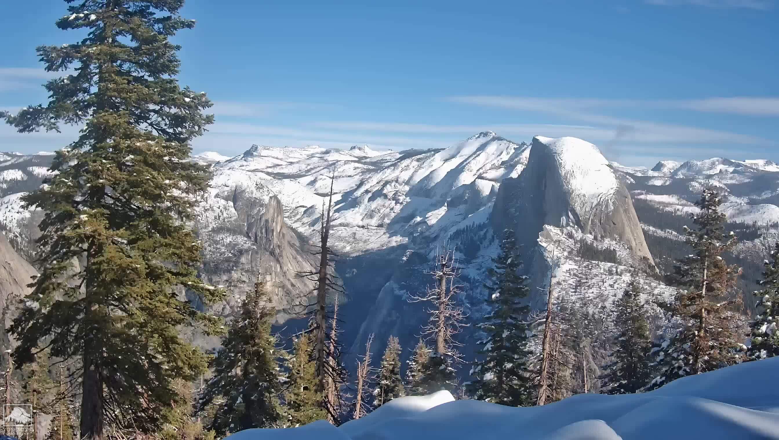
We reached the valley just before the summit and stopped at the outhouse where the Stanford Avenue and Ohlone College trails converged. We decided to take the less direct, less steep way to the top, around the back of Mission Peak. We pressed on. Donna, however, was finally beginning to lose steam. When the final slope to the summit came in to view, Donna decided that she had had enough and was going to leave the summit for another day. She did great! She far exceeded everyone's expectations, probably including her own. There is no question that she will conquer Mission Peak, maybe the next time she tries it.

But here we were with our son, just a few hundred feet from the summit. We decided to split up and take our son to the summit, while Deb and Donna hiked back down the mountain. We hiked up the final slope, while our son clambered over rocks like a mountain goat. I envied his abundance of energy!

Since we had forgotten our camera and didn't take our cell phones, this photo was taken by fellow hikers who had also just summitted, on their cell phone. Many thanks to them for emailing us this photo!
Our son is in his first year of Cub Scouts. It turns out that there is a hiking belt loop that can be achieved. He got it in style today!

Saturday, January 9, 2010

Montara Mountain: Three Peaks for the Price of One

Montara Mountain (elevation 1,898 feet above sea level) was my first hike of the year. It's been about three months since my last hike and I was really feeling the winter's slacking off. I packed my backpack last night and got everything in readiness. I wondered if the weather would hold. We had light showers and heavy fog yesterday.

I awoke at 6:30 am to a pea soup fog, not unlike yesterday. Would this hike turn out to be like our Team In Training hike at El Corte de Madera - wet, wet and wetter? I prepared for the worst, taking both a warm fleece and a fleece-lined rain parka with me. Perhaps I wouldn't need them both, but I was determined to be as dry and warm as possible. If necessary, I also had a poncho at the bottom of my pack.

Before leaving the house, I fixed myself some cream of wheat with raisins. My usual hiking breakfast has been yogurt and fresh fruit, but I wanted to see if this change would hold me better than in the past. I got distracted and burned the milk in the first batch, but luckily I had time to start over.

I met Deb at El Paseo de Saratoga for a carpool to the trailhead. This morning it turned out to be just us. We hit the road at 7:45 am, after grabbing a warm cup of decaf coffee at Le Boulanger. The weather didn't look promising, though the fog was beginning to lift by the time we cut over to Highway 92 from Highway 280. We might still have fog, but it wouldn't be quite the pea soup with which the day began.

We reached McNee Ranch State Park and the trailhead at about 8:45 am. We parked by the beach and watched the great rollers come in, listening as they crashed on the shore. The rest of our group of eight hikers would meet us here at the trailhead. The North Peak Access Road - a fire road and our trail for the day - would take us to the top of the mountain.

The first few hundred yards gently winds through tall dark cypress trees, but the forest soon ends and the remainder of the hike is on a fire road that is fully exposed to the elements, rain or shine. There is little to no shade along this fire road, so today's fog was the perfect weather for this hike. This fire road was once paved, but some beauracracy has decided not to continue paving the road, which is crumbling and half deteriorated.

After leaving the forest, the fire road turns sharply up, one of a couple of fairly steep sections along the way. I continued to listen to the rollers breaking for the first few miles of our hike. Eventually, however, we left that somehow calming sound. About one third of the way up, we had a great view of Devil's Slide, which causes so much trouble for commuters on Highway 1, and an old military battery apparently left over from WWII or the Cold War.

I didn't expect to see much in the way of flowers, since it is not nearly Spring yet, however, some of the shrubs of this chaparral microclimate were beginning to flower. The rare Montara Manzanita with its bell shaped clusters was in bloom, in both pink and white varieties. Also beginning to bloom is the orange Sticky Monkey Flower. Only a few flowers in evidence. Pampas grass was also evident along the trail, so ubiquitous that someone had obviously tried to get rid of it.

We continued ever upward. This was the first hike that I have used hiking poles since our attempt at Half Dome and since getting a case of carpal tunnel in my right hand. I wore my wrist brace all day and this did seem to help. At least it didn't get any worse.

The military battery was receding in the distance now with a great view of the ocean and of the fire road we had just travelled behind us. This hike's fire road reminds me of the Mission Peak hike from the Stanford Avenue side - although the Montara Peak fire road isn't nearly as steep, except in a few places.

We reached one of those steep portions just before reaching the summit. Here the pavement is completely gone, and in its place is the yellow dirt of eroded sandstone with pieces of quartz rock emerging. I think some of these steepest portions were entire slabs of breccia, looking almost like granite - except that it was far too soft and the wrong color. I would not expect to see granite here, but breccia is a sedimentary rock which I would expect to find near the ocean. I wondered if we would also see any serpentine, which is usually found near fault zones, but not today.

As we got near the top it became clear that there were actually three tops. We headed for the nearest and shortest one first and found a USGS marker on it - "Pedro". This peak had a cave, as well as a gorgeous view of the ocean, San Francisco, Mt. Tamalpais and Mt. Diablo.

Next, we walked over to the middle peak. This peak not surprisingly contained an antenna installation, with microwave dishes, cellular telephone antennas, and what was likely amateur radio antennas as well. We stopped here and ate lunch, sitting on a few uncomfortable rocks. The night before I had made myself a ham, bacon & turkey sandwich.

After about a half an hour's rest and recharge, we walked over to the highest North Peak. Here there was another USGS marker, but this one was so badly scratched it was partially illegible. Here also was another antenna installation. Here we also had 360 degree views of the ocean to the west; San Francisco, Pacifica, Mt. Tamalpais and Sutro Tower to the North; Mt. Diablo and the coastal range to the East; and the coastline and more of the coastal range to the South. Definitely a view worth the walk.

A few moments here and we started down the mountain again. What a beautiful day!