We hit the road early this morning, so that we could get on our way before the heat of the day. We stopped at the local grocery store and deli to pick up our sandwiches, which we had ordered the day before. They were ready and waiting for us! We drove around one arm of Lake Oroville, then up a small road towards the village of Feather Falls, and finally down the short road to the trailhead. We put our packs on and took off.
The first mile of the trail runs across the top of a ridge, at which point you reach a junction. There the trail diverges, offering a shorter, steeper 3.3 mile hike to the Falls or a longer, less steep 4.5 mile hike to the Falls. Most people take the shorter path to the Falls and the longer path back, so we did too. Almost immedialy, the trail descends via a series of steep switchbacks.
 What is most noticeable about this part of the trail, however, is the fragrance. This portion of the ravine is forested, in part, with the rare California Nutmeg tree. The evergreen has needles which are flat and pointed and apparently, like the Pacific Yew, is one of the few natural sources of Taxol, a substances that is useful in treating cancer. As we walked through the forest, I drank in the smell as if I was walking through a spice factory. It was wonderful!
Next we reached a set of granite rocks, which the Maidu Indians had used as mortars to crush acorns. The indentations in the rock are still there. Acorns can be made into a nutty flour, though the acorn meal has to be leached with water in order to remove the bitter tanic acid. When I was in elementary school, I took a nature class in which we made acorn pancakes, making the flour from scratch. They were very rich and yummy!
 We continued along the bottom of the ravine along Frey Creek until we reached a bridge and crossed the creek. Here, the ladybugs were beginning to gather for their annual winter migration. A few month later and this area will be covered with ladybugs. After crossing the Creek, we continued following the creek for another mile or so and then began a gradual climb out of the ravine. We reached a clearing about a mile later - with a park bench! Here we stopped and applied some suntan lotion and drank some Gatorade before moving on. This clearing is also the place where the two trails meet up again.
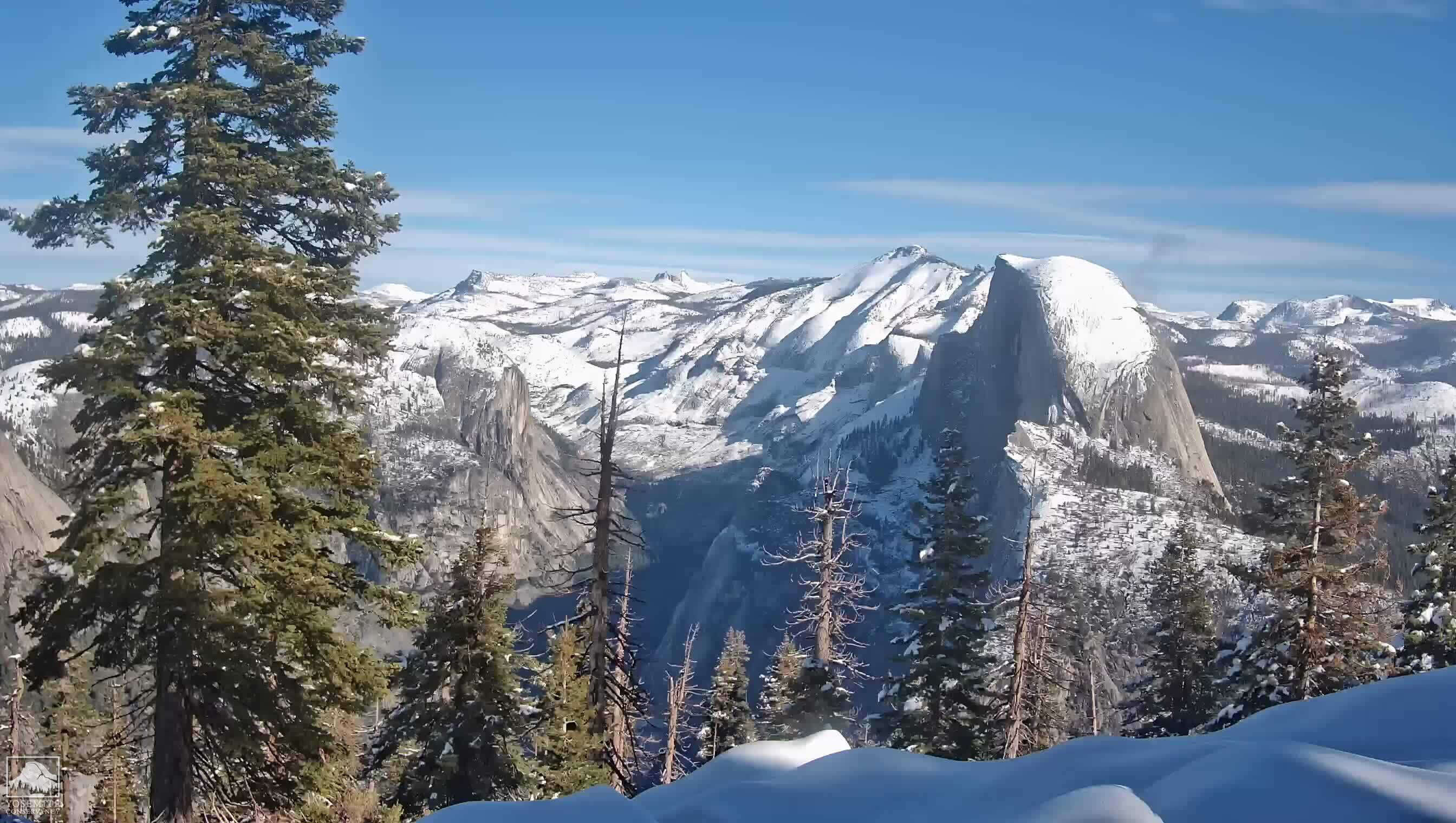
 The last mile climbs steeply out of the ravine and follows the top of a ridgeline. We had tremendous views of the Fall River, the tributary of the Middle Fork of the Feather River which feeds into Lake Oroville. Across the ridge, we had a great view of Bald Rock Dome, which is a granite formation similar to Yosemite's Half Dome, though Half Dome looks more bald than Bald Rock Dome.
After climbing over the ridge, we descended down to the overlook platform from which we could view the falls. Given that it was Labor Day weekend, the trail was busy and we shared the platform with about ten to fifteen people. We ate our sandwiches and drank in the gorgeous view! After spending about half an hour eating and looking around, we decided to hike over to the top of the Falls.
We climbed the steep switchbacks up from the overlook to the main trail and then continued to climb up granite stairs until we reached a ridgeline that follows the rim of the canyon around to the Falls. From there, we scrambled down to the river bank, clambering over huge granite boulders. The granite here was smooth and slick from the weathering forces of wind and water. The trail here is not well defined and it was a miracle that I didn't get poison oak, which was growing out of the cracks and crevices of the boulders.
 After a few minutes looking at the river, we departed the way we came, first heading back to the Falls overlook junction and then back down to the clearing. Here we took the longer, more gradual trail back up to the trailhead and parking lot. We passed two smaller waterfalls on Frey Creek, which was lined with lovely clusters of Woodwardia ferns. After 4.5 miles of gradual though relentless climb, we eventually reached the trail junction once more and travelled the last mile to the parking lot.
What a beautiful way to start the day!
Are we ready for Half Dome?