So nice to start hiking again after all the rain! Today's hike was at Sierra Azul Open Space Preserve. We decided to hike the Woods Trail, which is really a fire road that begins just off of Hicks Road, up to Barlow Road, another fire road that continues up to the summit of Mount Umunhum.
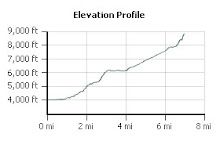
This hike is 5.4 miles round trip with an elevation gain of 1100 feet. As we started down this trail, I began to wonder where the elevation change would happen because for the first third of the trail, we continued further and further downhill - until we reached Guadalupe Creek.

This river was discovered and named Rio de Nuestra Señora de Guadalupe (River of Our Lady of Guadalupe) by the De Anza expedition in 1776, in honor of the patron saint of the expedition. Guadalupe Creek feeds into Guadalupe Reservoir, which is one of the reservoirs which supply the Santa Clara Valley with water. The outflow from this reservoir becomes the Guadalupe River, which runs downhill through San Jose before it drains into the Bay, has been the cause of many floods in the Willow Glen and downtown areas over the years. For this reason, the City of San Jose is currently working on flood control projects on this river. But at this point, the Guadalupe Creek is small and hardly seems dangerous.
On our way down to the creek, we came upon the remains of at least four lizards which had somehow met their demise on the trail. We wondered about this and ultimately decided that they came out to warm

themselves in the sun, only to discover a temperature colder than their bodies would allow. Maybe. Maybe not. But it sounded good! We nicknamed this trail the "Frozen Lizard Trail".
The creek was a wonderful opportunity for our son to throw some large rocks off the bridge and into the pool below. Splash! After that, we began our ascent - at last - up the mountain. On the way, our son collected several rocks, including some nice quartz specimens, that appeared to have been brought in as gravel for the fire road.

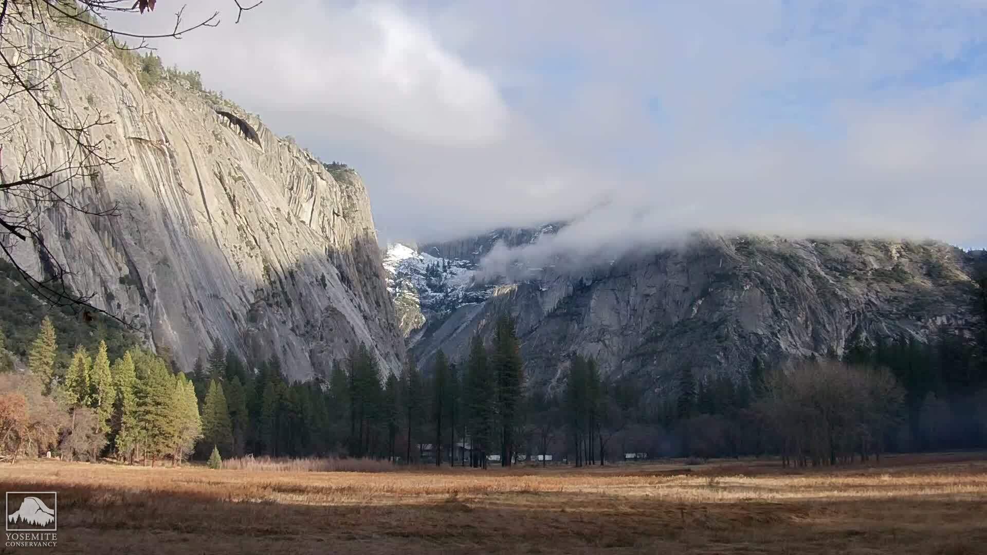
As the trail climbed away from the creek, we began to have some really great vistas of downtown San Jose and the rest of Santa Clara Valley. Beautiful! Also as we continued to climb, we had close up views of the former Almaden Air Force Station radar tower - the big square structure on the summit of Mount Umunhum. This was an early warning radar station that operated until 1980. I've always thought it would be an interesting place to visit, but the area is closed due to toxic substances and mold. Also near the summit is the Bay Area NEXRAD weather station - the white spherical structure that is an advanced Doppler radar.
Power lines also cross this trail, as they do the PG&E Trail in Rancho San Antonio Park. Here the powers lines make a sweeping catenary arc across the canyon - in view just before rounding the point. Here there are grand views both of Mount Umunhum, the Santa Clara Valley, as well as Mount El Sombroso.
The end of winter was beginning to be in evidence. The first spring wild flowers were beginning to bloom, as well as some tree flowers. I wondered that more rain would come in March, however, as it usually does. Some very pretty succulents were also in display alongside the trail.
We reached Barlow Road, took a break to hydrate and have some trail mix, and our son played with rocks and sticks, before we began the journey back to the trailhead. What a beautiful day!

 This morning, a friend took me on one of her regular hikes. She likes to run up the Kennedy Trail in the Kennedy-Limekiln Area, within the Sierra Azul Open Space Preserve, where I was last weekend. In fact, if you get to the top of the Kennedy Trail, it connects to the Woods Trail that we hiked.