
 Duane and I decided to do a much longer hike with significantly more elevation gain this morning. I had hiked Black Mountain once before with mentor Deb and fellow hiker Matt. It was a nice hike, but Duane was unable to join us that Sunday morning. So I thought this would be a good hike for him. He would get to see something new, and next week, he would take me someplace new. (We're planning to do the Saratoga Gap hike that I previously missed next week.)
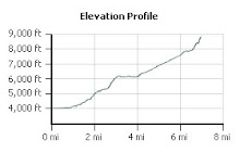
We got to the trailhead, which is located near the end of Rhus Ridge Road, by 7:45 am. We readied our hiking poles and packs to go and took off. As before, there was a few hundred feet of a short warm up, before we started to climb 600 feet in less than a mile. It was a beautiful day. Warm, though not terribly hot. The trail had plenty of shade for most of the way. We reached the trail junction at the Duveneck Windmill pasture area: left towards Rancho San Antonio and left towards the top of Black Mountain and Montebello Road. We turned left and started on a series of gentle switchbacks up the mountain underneath woodland oak forests. The wildflowers are mostly gone now, though we saw plenty of spider webs.
 The last mile or so of the Black Mountain trail is quite steep. But at last we reached Montebello Road and the antenna farm that sits next to the junction of the trail and road. We had planned to turn back, as before, when a couple of hikers told us that there was a nice place to sit down with 360 degree views a few hundred feet ahead. So we pressed on and were glad that we did.
We found an outcropping of jagged rocks, where we found a rock to sit on, ate our sandwiches and enjoyed the 360 degree views of the Santa Cruz Mountains and Santa Clara Valley. We also found the USGS summit marker in that outcropping of rocks. Oddly, it doesn't state the elevation as we would have expected, and uses the Latin word for Black - Niger - to name the mountain.
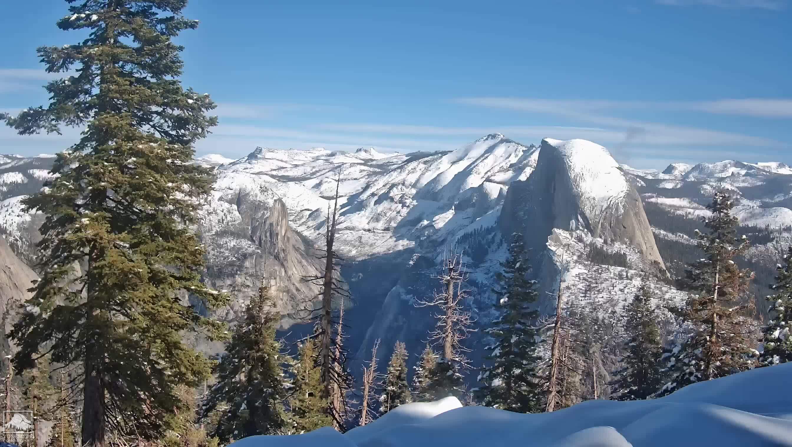
We also seem to keep bumping into people who are training for Half Dome. We met a couple of men who were training for Half Dome lower down on the trail, and then again at the summit, we met another couple who were also training.
After about a half an hour break at the summit, we headed back down the mountain. By the time we began our descent the temperature was quite a bit hotter, and on the unshaded portions of the trail I sometimes felt like a hot dog in a solar cooker. Still it was a beautiful day and the views from many parts of the trail as well as the summit are stupendous. We arrived at the bottom of the trail, nine plus miles later, feeling pretty good and not much worse for wear.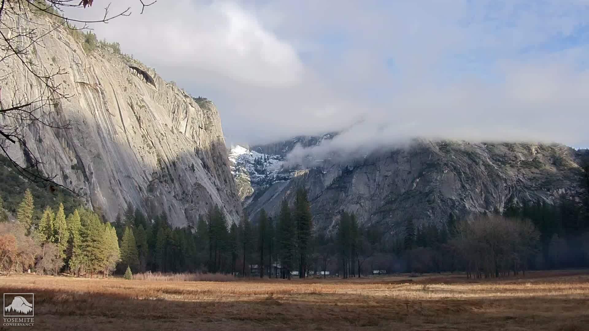
No comments:
Post a Comment