Tuesday, April 26, 2011

Disneyland & California Adventure

After Easter Sunday's baseball game and dinner, we took off for Southern California and Disneyland. We planned a two day visit before departing for the American Southwest. This would give us one day at Disneyland and another day at California Adventure.

We had initially planned to drive as far south as possible Easter night and stay at a motel off of I-5. This changed when we crossed the Grapevine into the Los Angeles basin at around midnight. We decided it would be better to spend a little extra time getting to tomorrow's destination rather than fight the Monday morning infamous commute traffic. We pressed on and, fortunately, the hotel that we had reservations at for tomorrow, had a space for us tonight.

Our son was thrilled with the bunk beds. We slept in (for us) and didn't even miss the opening of the park. Our hotel came with a complimentary breakfast, which was about as bad as could be. Still frozen sausages just don't do it for me. I didn't eat breakfast that morning. Our hotel was right across the street from Disneyland, so all we had to do was walk to the entrance. This was much more convenient than having to drive, then park, then take a shuttle.

We spent the rest of Monday walking all over Disneyland. We rode Space Mountain (several times), Buzz Lightyear's Astro Blaster, Autopia, and even managed to get on the Matterhorn Bobsleds before the line got ridiculous. Splash Mountain, Big Thunder Railroad and Indiana Jones were exciting, but my favorites are still It's a Small World, Pirates of the Caribbean and the Enchanted Tiki Room. The Swiss Family Robinson's treehouse has been transformed into Tarzan's treehouse, but even so, it was fun to walk up. We also went to Great Moments with Mr. Lincoln, which I had not seen in over 20 years. It had just been redone and the animatronics is even better than before.

Again, this is not a conditioning hike, but it's still a lot of walking! We met up with some friends who have children in the same school as our son and had a nice dinner at the Blue Bayou with them. We were fortunate in that we were able to get the last available space at 7:15 pm! After dinner, we went to the Haunted House together and then our friends went to see World of Color, the water show that is currently playing at California Adventure. Our tickets were for Tuesday evening so we stayed at Disneyland for the rest of the day and watched the fireworks before going back to our hotel for the evening. It was nice not to have the explosions happening right overhead, as happened the last time we were at Disneyland!

The following day, Tuesday, we went to California Adventure. Our favorite ride there is California Screamin', a huge boardwalk style roller coaster. It's really my second favorite after the Giant Dipper at Santa Cruz Beach and Boardwalk. California Soarin' is also a wonderful ride which simulates flying over California. Our son likes Toy Story Mania which, like Buzz Lightyear's Astro Blaster, is a moving shoot-the-target ride. We also went on the Monsters Inc. ride, saw a parade near the Aladdin theatre, and then went on the Hollywood Tower Hotel ride. I had completely forgotten that this was a freefall style ride. Had I remembered I would have passed. I white knuckled it during all three freefalls, which probably was a good thing since our son was so concerned about me that he forgot to be scared.

The height of the evening came with World of Color, but also the most annoyance. This water show is a medley of all of the great Disney animated movies. The show is absolutely stupendous BUT you have to watch it standing. In fact, you pay extra to watch it standing. There is no where to sit down, not even a park bench. The show lasts about an hour and it's another hour before the show starts, so that's a total of two hours of standing. Whoever planned this out obviously did not think this through.

It was a wonderful two days and we all managed not to get too sunburned! We headed back to the hotel for a good night's sleep. Tomorrow will be a long drive to Williams, Arizona - our jumping off point for the Grand Canyon.

Sunday, April 24, 2011

Easter Baseball

Today we headed to my brother and sister-in-law's home for Easter dinner and a family baseball game. Shortly after arriving, we all headed out to a nearby park with what baseball equipment we possessed. Unfortunately, the only bat we had belonged to my niece which, of course, was on the short side. Good for the children; not so good for the rest of us. I was happy just to hit the ball while my brothers competed to see who could hit the farthest home run (into the parking lot) with my niece's small bat. Stephen won easily, but John was a close second. We had a lot of fun and exercise (though not hiking). I hope this will become a new family tradition

Saturday, April 23, 2011

And Now For Some Real Hiking...

Great news! My husband, who lost his job just before we all got the flu last February, will be reemployed again as of May 2nd. Our trip to the Southwest and Disneyland that we canceled on account of the flu, we can now do over our son's Easter break! We plan to go to Disneyland, then drive east to visit the Grand Canyon, Monument Valley, and then swing by Antelope Canyon, Zion National Park on our way home. It's a lot of driving, but I think we can manage this inside of a week and get some really awesome hikes in!

Sunday, April 17, 2011

Springing to the Top of Kennedy Trail

This morning, I decided it was time to go to the top of Kennedy Trail. I've gone halfway twice for lack of time, and it was time to make time to get to the "top", i.e., the junction with Priest Rock Trail. This time I would be armed with my camera! Spring is definitely in the air.

We set out at 7:30 am and arrived at the trailhead a short time later. I forgot my fleece at home, but I didn't need it. I wore a short sleeve hiking shirt underneath a long sleeved hiking shirt, as I usually do unless the weather is really hot. It was cool and overcast due to the marine layer, but it wasn't cold.

The first couple of miles or so were done underneath the marine layer, but eventually we punched through. Not much of a view - other than fog - from the trail.

Spring, however, had sprung as I anticipated. The trail was lined with various types of wild flowers.

There was the usual Scotch or Common Broom (planta genista), an ubiquitous foreign weed bearing yellow flowers that is difficult to eliminate and takes over wherever it roots. (How it came to be called "Scotch" Broom in this area when it was associated with the Angevin (French) Plantagenet royal family, I have no idea.)

The orange blossoms of Sticky Monkey Flower were also in evidence. Local native American tribes used to use the leaves to make a medicinal tea.

The Kennedy trail is not terribly long at only 4.1 miles, but it is steep. It is as challenging as the Stanford Avenue approach to Mission Peak, though with more shade. And, if you wanted to make it a longer hike, you could continue on past the Priest Rock Trail junction. Eventually you wind up on the Woods Trail and you can even take the trail up to Mount Umunhum (though not to the summit). I managed to catch the California Poppy, native to California and its state flower.

We continued up the trail, though it was very foggy. We continued to see many beautiful wildflowers out in force. Wild iris were abundant, as was ceanothus (usually blue, but this time white) and Blue Lupine. There was also a beautiful red Indian Warrior. I could have picked a magnificent bouquet!

Eventually, we hiked through the fog and had a wonderful view of ... the marine layer. This is, of course, perfect hiking weather which only slightly makes up for the lack of a view. We continued to hike until we reached the tree - the halfway point in our hike.

We continued up the rest of the trail. There were fewer wildflowers in this hotter, drier part of the trail. As we neared the junction, the trail got quite a bit steeper. (Why does it always do this near a summit?) After a last steep section, we reached the junction - and sign. Shortly after that, the fog began to burn off and we finally had a great view of the valley below! We turned around and hiked down the mountain - another conditioning hike under our belts!

Sunday, April 3, 2011

Up the Kennedy Trail - Redux

A very busy day today, but squeezed in another conditioning hike up the Kennedy Trail with Chris. This is quickly becoming our favorite training ground, because of the elevation gain, but also because it provides more cover than do the trails up Mission Peak or in Alum Rock Park.

Unfortunately, I left my camera at home today so was not able to take any photos. There was a much better view than last time!

As with the first time I hiked the Kennedy Trail, we didn't go all the way to the road but to the tree that marks the approximate half way point.

Sometimes there just aren't enough hours in the day, but at least some conditioning is better than nothing!

Saturday, March 26, 2011

Mud Run 2011

After the fun we had last year, my friend Deb, as well as my brothers John and Stephen and my sisters-in-law Sandi and Rose, decided to do the Big Sur Mud Run together. Unfortunately, I've been so sick with the flu that I haven't really had the energy to train. About a month ago, my whole family came down with the worst flu we've ever had. Our son had fever spiking to 104 for five days, and although Duane and I didn't have a fever that high, we both got really bad ear infections. Ugh. I was hoping to do better than last year's time, but at this point, I'm just glad I'm feeling well enough to do this!

We drove down to Marina the night before and stayed at the Ramada just as we did last year. Unlike last year, however, the weather was wet with a light rain falling during part of the run. The Army didn't have any need to add water to make mud this year. All they had to do was dig holes and let the rain do it for them!

Some runners covered their clothes with plastic garbage bags. I wore a hiking hat with a broad brim to keep the rain out of my eyes, some exercise tights, a tee shirt and a waterproof parka so I wouldn't need to use a garbage bag. Runners were milling about the big red arch at the start line. We had some warm ups at the start, before the gun went off and when it finally did go off, off we went!

It didn't take long for me to lose everyone in my group. I had thought I might be able to keep up with my little brother, since he has been having some difficulties with his feet. Apparently, this didn't stop him much because after the first few minutes, Stephen was no longer visible. I tried looking for the umbrella hat that my sister-in-law Rose was wearing. That was not to be seen either. I was all by myself in a crowd of hundreds. So I just kept jogging along.

The course was similar to last year, but there were fewer obstacles. The walls seemed to be shorter by a foot. Or at least it seemed that way since, this year, I had no trouble surmounting them. Running downhill was more problematic with all of the slippery mud and I found myself being more careful. There were also three calisthenic stations, at which Army drill instructors commanded us to do push ups, jumping jacks and sit ups. I kept moving through the various stations and obstacles and still I never saw the rest of my group.

Finally, I got to the last wall and mud pit. I heard the announcers voice joke that someone wearing "Avenger gear" was moving through the mud pit. Was he talking about me? I was wearing a broad brimmed hiking hat...

A few minutes later, I was running the last lap around the track before the finish line. I had been running pretty casually (where was everyone?), so I decided to sprint for the finish line. It was just about then that I noticed everyone was waiting for me. I wasn't surprised. My time was 1:21:13 - not the greatest and only 45 seconds faster than last year's time... but it was faster!

We finished off the day with a great seafood lunch at a Monterey restaurant after showering and changing into clean clothes. The question remains: Will I do this again next year?

Sunday, March 13, 2011

Back to Alum Rock

Today's hike was a short one at Alum Rock Park, mostly because of time constraints. My friend Chris and I hiked up the North Rim Trail to Eagle Rock and back. When we have more time, we'll hike up to the Santa Clara County Open Space Authority, which goes the rest of the way up the side of the canyon.

I'm still using my day pack, though I'm starting to load more weight in it. I can add 6.6 pounds just by carrying the three liters that my hydration pack will take. Add to that some trail mix, a bottle of G2, a camera, assorted odds and ends, and the pack is probably close to 12 pounds. Not enough weight, but it's March and we still have three and a half months to go before Half Dome.

We didn't see too many wildflowers today. It's still early and the weather has not cooperated. But we did see some beautiful purple Vetch. Vetch is in the legume family - you can tell because the leaves are similar to what you would see if you grew your own peas.

Eagle Rock is always an interesting destination, not just because of the rock, but also because that location is also the site of a local amateur radio repeater and other antenna installations. And it has a great view of San Jose too!

Monday, February 7, 2011

Up the Kennedy Trail

This morning, a friend took me on one of her regular hikes. She likes to run up the Kennedy Trail in the Kennedy-Limekiln Area, within the Sierra Azul Open Space Preserve, where I was last weekend. In fact, if you get to the top of the Kennedy Trail, it connects to the Woods Trail that we hiked.

The day was misty and rainy. I dressed for rain, but was fortunate in that it only came down for about a half an hour of our hike. The rest of the time it was just the very damp mountain mist. Still wet, but at least it was not a soaking. The Woods Trail only gains elevation of about 1100 feet, while the Kennedy Trail goes right up the mountain side for an elevation gain of 2000 feet. It is a fire road, so you would expect it to be steeper than a footpath and it is. This made for quite a vigorous workout!

The altitude also offers many beautiful views, but unfortunately, my camera was not at the ready. This is, however, a challenging trail and I would like to hike it again on a sunny day when I have my camera and don't have to depart early for other appointments.

Saturday, February 5, 2011

First Hike of the Season: Sierra Azul O.S.P.

So nice to start hiking again after all the rain! Today's hike was at Sierra Azul Open Space Preserve. We decided to hike the Woods Trail, which is really a fire road that begins just off of Hicks Road, up to Barlow Road, another fire road that continues up to the summit of Mount Umunhum.

This hike is 5.4 miles round trip with an elevation gain of 1100 feet. As we started down this trail, I began to wonder where the elevation change would happen because for the first third of the trail, we continued further and further downhill - until we reached Guadalupe Creek.

This river was discovered and named Rio de Nuestra SeƱora de Guadalupe (River of Our Lady of Guadalupe) by the De Anza expedition in 1776, in honor of the patron saint of the expedition. Guadalupe Creek feeds into Guadalupe Reservoir, which is one of the reservoirs which supply the Santa Clara Valley with water. The outflow from this reservoir becomes the Guadalupe River, which runs downhill through San Jose before it drains into the Bay, has been the cause of many floods in the Willow Glen and downtown areas over the years. For this reason, the City of San Jose is currently working on flood control projects on this river. But at this point, the Guadalupe Creek is small and hardly seems dangerous.

On our way down to the creek, we came upon the remains of at least four lizards which had somehow met their demise on the trail. We wondered about this and ultimately decided that they came out to warm themselves in the sun, only to discover a temperature colder than their bodies would allow. Maybe. Maybe not. But it sounded good! We nicknamed this trail the "Frozen Lizard Trail".

The creek was a wonderful opportunity for our son to throw some large rocks off the bridge and into the pool below. Splash! After that, we began our ascent - at last - up the mountain. On the way, our son collected several rocks, including some nice quartz specimens, that appeared to have been brought in as gravel for the fire road.

As the trail climbed away from the creek, we began to have some really great vistas of downtown San Jose and the rest of Santa Clara Valley. Beautiful! Also as we continued to climb, we had close up views of the former Almaden Air Force Station radar tower - the big square structure on the summit of Mount Umunhum. This was an early warning radar station that operated until 1980. I've always thought it would be an interesting place to visit, but the area is closed due to toxic substances and mold. Also near the summit is the Bay Area NEXRAD weather station - the white spherical structure that is an advanced Doppler radar.

Power lines also cross this trail, as they do the PG&E Trail in Rancho San Antonio Park. Here the powers lines make a sweeping catenary arc across the canyon - in view just before rounding the point. Here there are grand views both of Mount Umunhum, the Santa Clara Valley, as well as Mount El Sombroso.

The end of winter was beginning to be in evidence. The first spring wild flowers were beginning to bloom, as well as some tree flowers. I wondered that more rain would come in March, however, as it usually does. Some very pretty succulents were also in display alongside the trail.

We reached Barlow Road, took a break to hydrate and have some trail mix, and our son played with rocks and sticks, before we began the journey back to the trailhead. What a beautiful day!

Friday, January 28, 2011

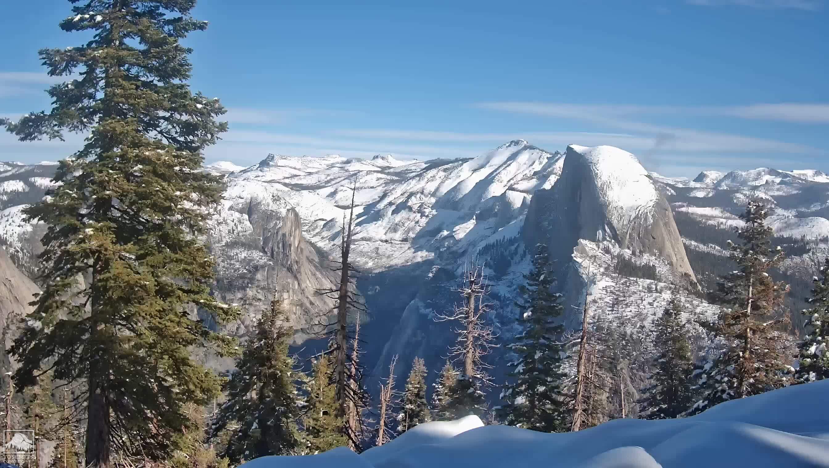
Half Dome or Bust

We have received our wilderness permits for Yosemite. This year we will be departing the trailhead in mid-July, which should give the snow plenty of time to melt!

Half Dome, here I come!

Of course, it's now time to make best friends with the Stair Master...